Professional Railway Surveying Services
ODRA Associates specializes in comprehensive railway surveying and engineering services across India. We utilize cutting-edge technology including photogrammetry, drone-based aerial surveys, and LiDAR systems to deliver precise and reliable results for railway infrastructure development projects.
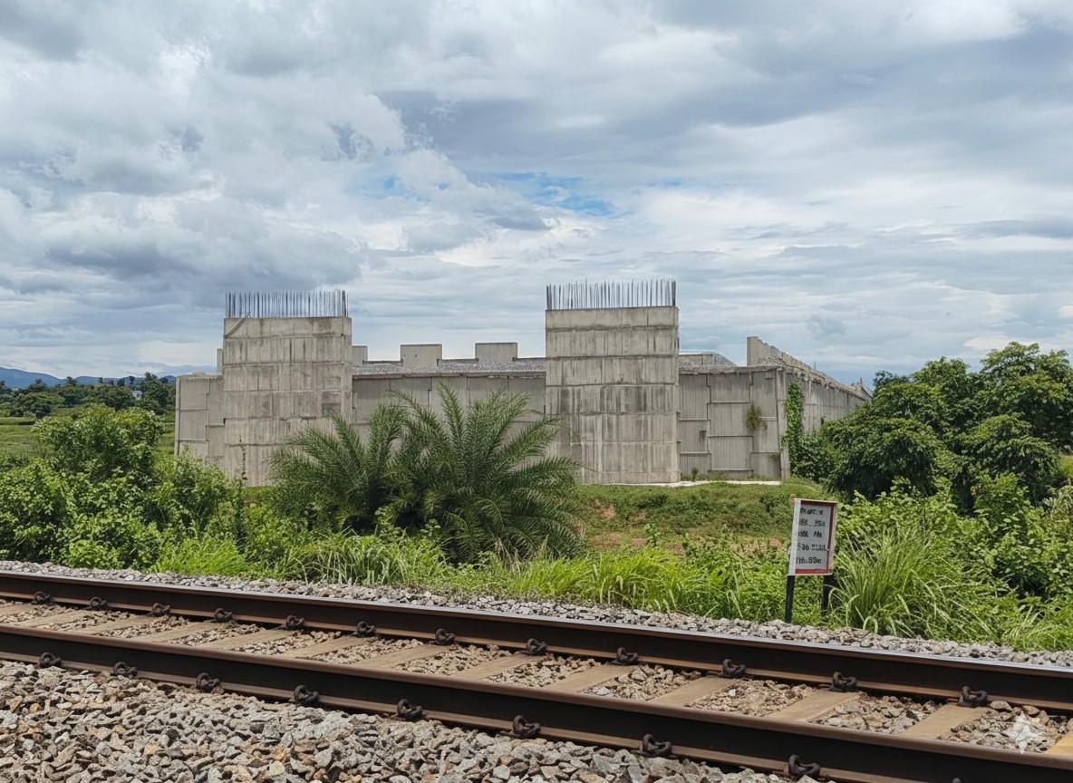
Our expertise spans Final Location Surveys (FLS), Detailed Project Reports (DPR), hydrological investigations, and complete documentation for railway line construction. With over 299 kilometers of track surveyed and a proven track record with Indian Railways, major PSUs, and leading corporate clients, we ensure accuracy, compliance with railway standards, and timely project delivery.
We have successfully completed numerous projects for IPRCL, East Coast Railway, and private sector clients including Tata Steel Limited and Vedanta Limited. Our team of experienced engineers and surveyors employs advanced methodologies to handle complex terrain, bridge calculations, land acquisition planning, and comprehensive technical documentation.
Recent Railway Projects
Explore our portfolio of successfully completed and ongoing railway surveying projects
Bolangir Nuapada via Patnagarh
Talcher Coalfield from Tentuloi to Budhapank
Tanginiguda (including)- Malkangiri
Chhattisgarh Rail Corridor Project (CGRP)
11+
Ongoing Projects
(Across various stages of survey and documentation)
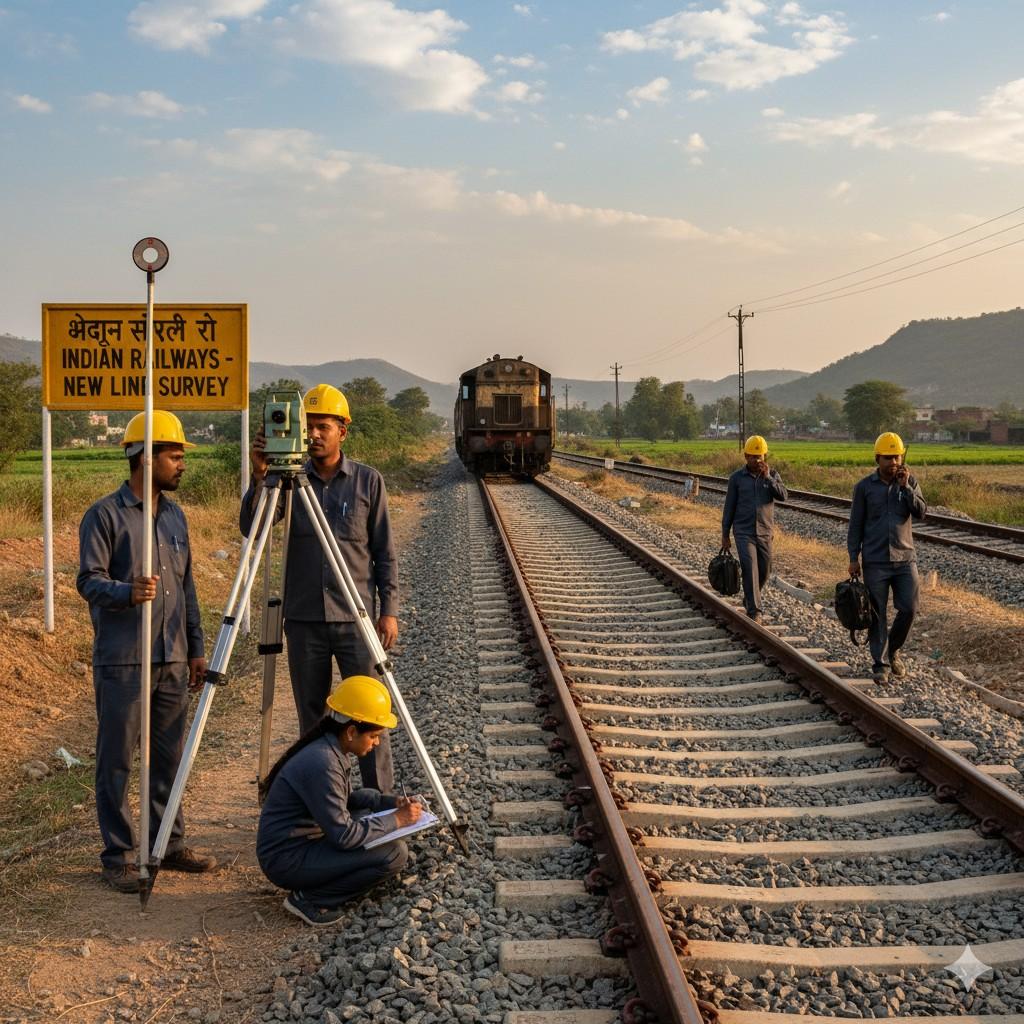
Our Methodology
Initial Assessment
Site reconnaissance, terrain analysis, and preliminary survey using topographic sheets and satellite imagery.
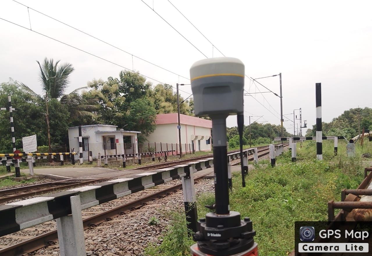
Data Collection
Deployment of drones, LiDAR systems, and DGPS equipment for comprehensive ground feature mapping and elevation data.
Analysis & Planning
GIS processing, digital elevation modeling, hydrological calculations, and alignment optimization.
Documentation
Preparation of detailed drawings, L-sections, ESP, GAD, land plans, and comprehensive DPR as per railway standards.
Quality Assurance
Rigorous verification of survey data, cross-checking with railway specifications, and accuracy validation.
Approval & Delivery
Coordination with railway authorities, submission for approvals, and final documentation delivery.