Our Expertise : - Surveying

High-Precision Surveying & Geomatics
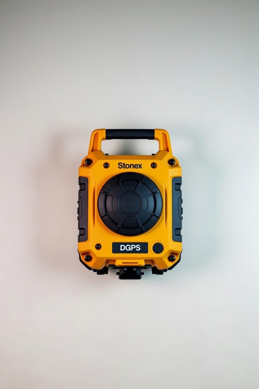
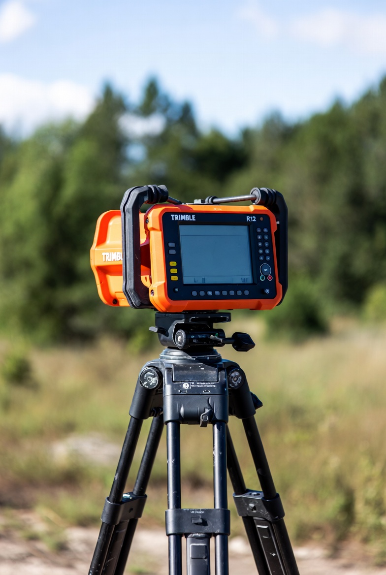
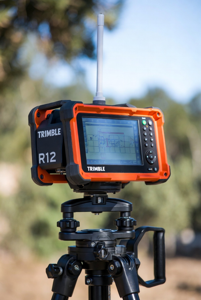
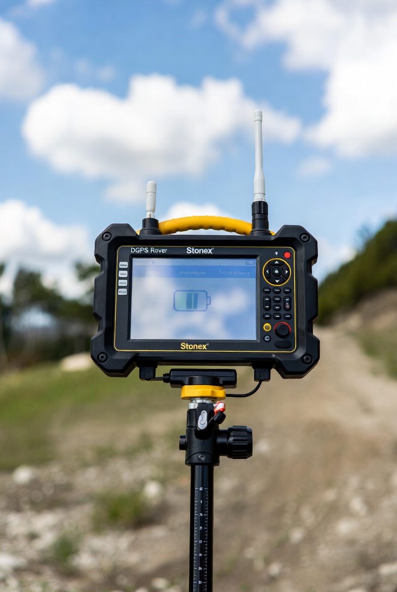
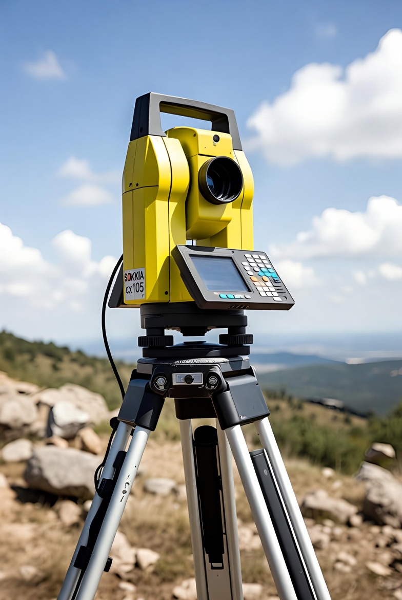
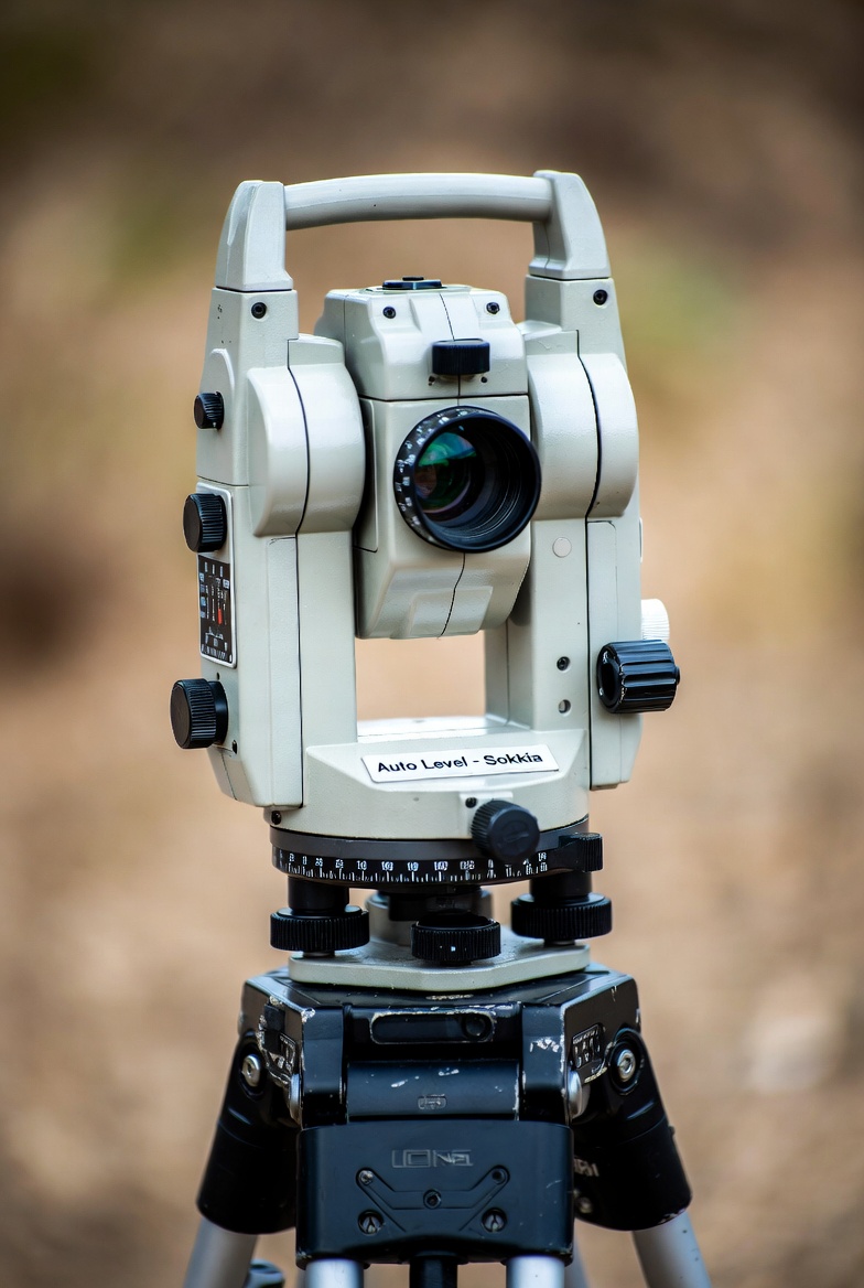
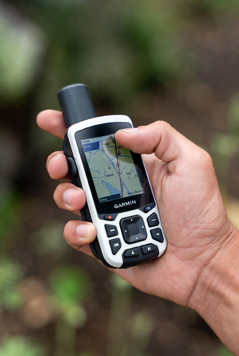
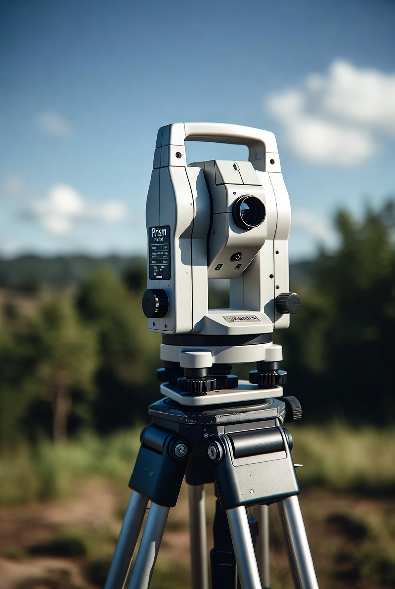
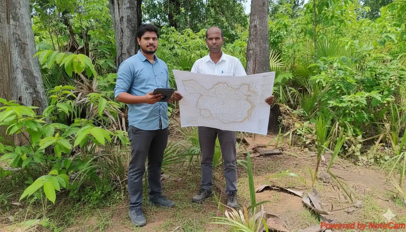
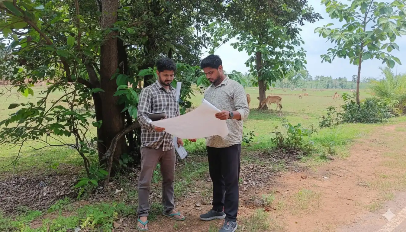
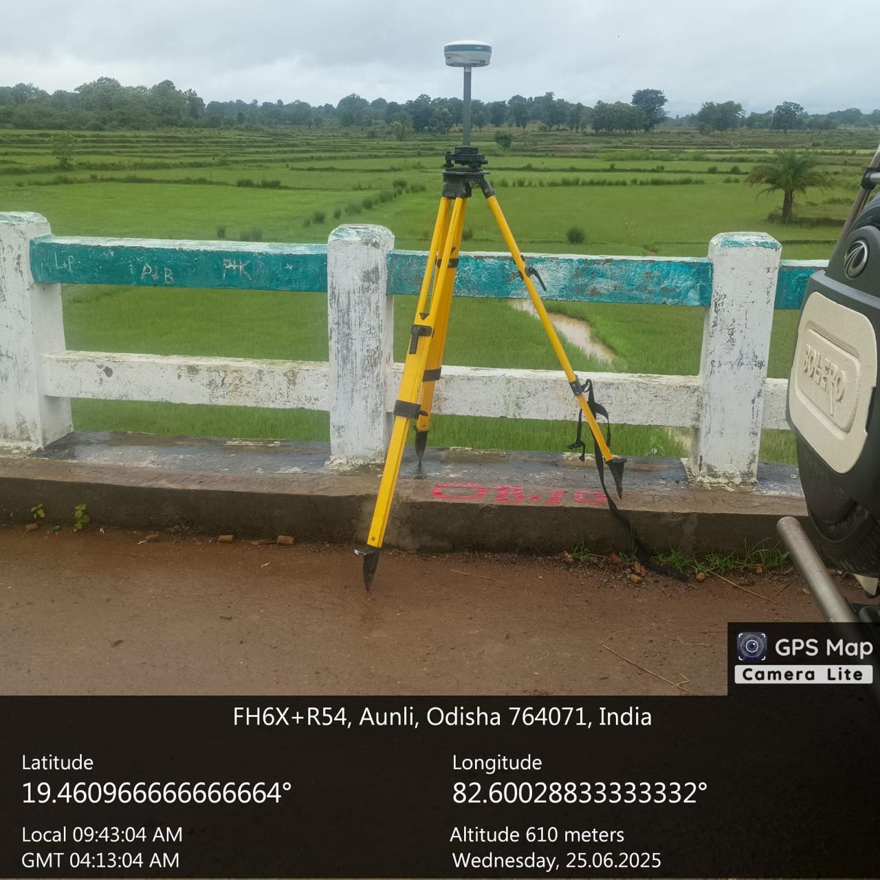
ODRA provides extensive terrestrial and Aerial field surveys for all critical infrastructure projects in Highways, Railways, and general Civil Engineering areas. We deploy our own sophisticated, latest-generation instruments, including DGPS (PPK & RTK), UAV Drones, and Robotic Total Stations, ensuring unmatched data accuracy and project reliability from initial planning to final construction.

Our Survey Process
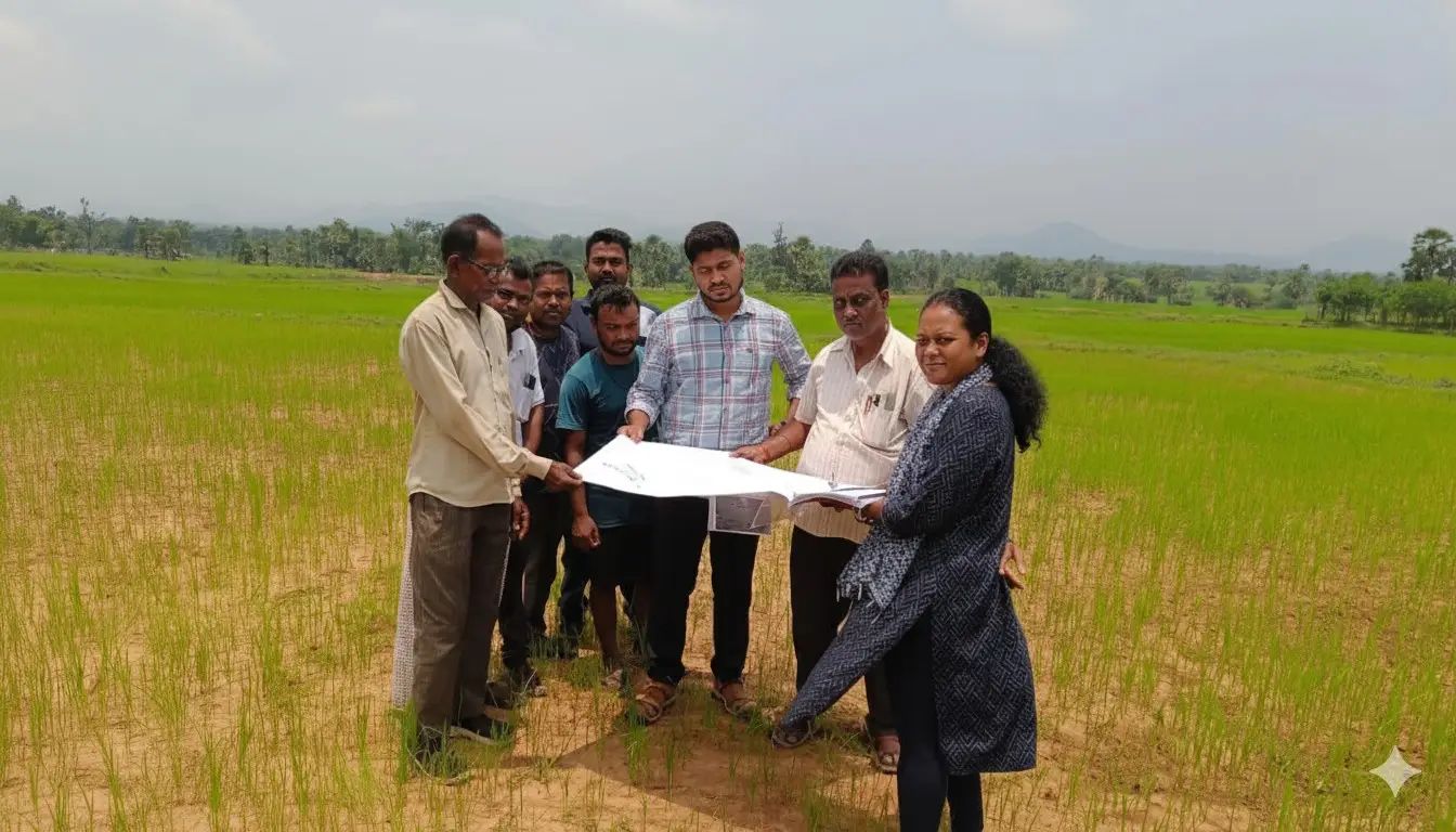
We execute all surveying projects by strictly adhering to the work from whole to part principle. This ensures the highest level of accuracy and limits the accumulation of error. Our process begins with detailed Reconnaissance to understand the scope and complexity of the site, followed by establishing a high-precision Control Network using DGPS/RTK.
The final phase involves meticulous detail collection (using Total Stations or Drones) and data processing to produce certified Digital Terrain Models (DTMs), contour maps, and finalized engineering drawings required for design and construction implementation.
Core Surveying Capabilities
Topographical & Contour Surveys
Creating detailed maps showing the exact location and elevation of all natural and man-made features for effective project design.
Boundary & Cadastral Delineation
Precisely establishing and certifying property lines based on legal documents and monumentation to prevent land disputes.
Construction Staking (Layout)
Transferring engineered designs onto the job site, providing critical markers for foundations, alignments, and earthwork grading.
Survey Specifications & Deliverables
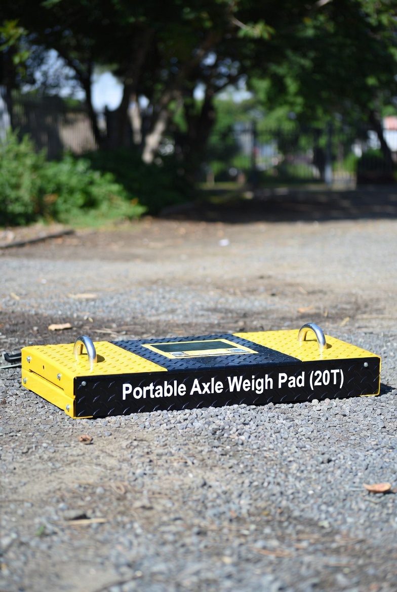
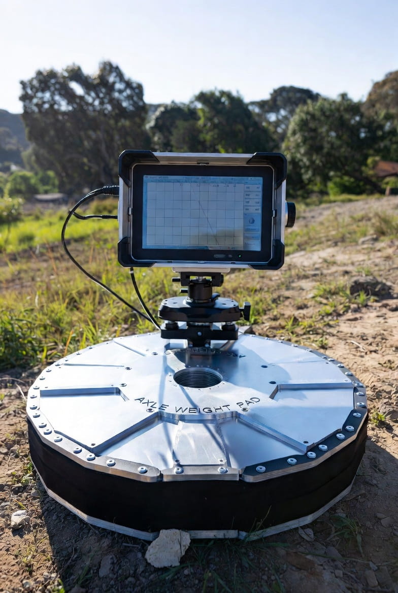
Modern Equipment Used: Our Technical Inventory
Our comprehensive fleet of advanced instruments ensures the highest level of accuracy for all terrestrial, aerial, and specialized infrastructure projects.