Professional Highway Surveying Services
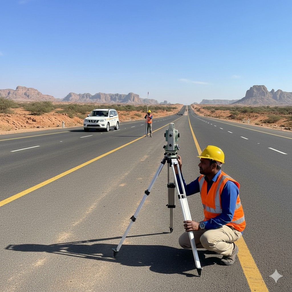
ODRA Associates specializes in comprehensive highway and road surveying and engineering services across India. We utilize cutting-edge technology including photogrammetry, drone-based aerial surveys, and LiDAR systems to deliver precise and reliable results for infrastructure development projects.
Our expertise spans Detailed Project Reports (DPR), topographical surveys, alignment optimization, cadastral surveys for land acquisition, and complete documentation for road construction and widening. With over 299+ kilometers of road surveyed and a proven track record with NHAI, MORTH, and leading corporate clients, we ensure accuracy, compliance with national standards, and timely project delivery.
We have successfully completed numerous projects for State PWDs, private sector infrastructure developers, and clients including Tata Steel Limited and Vedanta Limited. Our team of experienced engineers and surveyors employs advanced methodologies to handle complex terrain, bridge/culvert calculations, land acquisition planning, and comprehensive technical documentation as per NHAI and MORTH guidelines.
Recent Highway Projects
Explore our portfolio of successfully completed and ongoing highway surveying projects
NH-55 Widening Project (100 KM Section)
Expressway Feasibility Study (Phase II)
State Highway Upgrade (Rural Connectivity)
Coastal Highway Link (Land Acquisition)
11+
Ongoing Projects
(Across various stages of survey and documentation)
Our Methodology for Highway Projects
Initial Assessment & Route Feasibility
Site reconnaissance, traffic surveys, terrain analysis, and preliminary alignment survey using topographic sheets and satellite imagery.
Data Collection & Mapping
Deployment of drones, LiDAR systems, and DGPS equipment for comprehensive Right of Way (RoW) mapping, utility identification, and detailed elevation data.
Engineering Design & Optimization
GIS processing, Digital Terrain Modeling (DTM), pavement design calculations, and horizontal/vertical alignment optimization as per MORTH standards.
Documentation & DPR Preparation
Preparation of detailed drawings, L-sections, cross-sections, bridge General Arrangement Drawings (GAD), land acquisition plans, and comprehensive DPR.
Quality Assurance
Rigorous verification of survey data, cross-checking with national highway specifications, and geometric design validation.
Approval & Delivery
Coordination with NHAI/MORTH/PWD authorities, submission for statutory approvals, and final documentation delivery.


